Today I take a lovely walk which takes me across cliff tops over smugglers caves and past pretty coastal villages.
Leaving Sandyhills, I walk through a caravan park and follow the cliff tops over the Smugglers cave towards Port O’Warren. The beach here was known to smugglers.
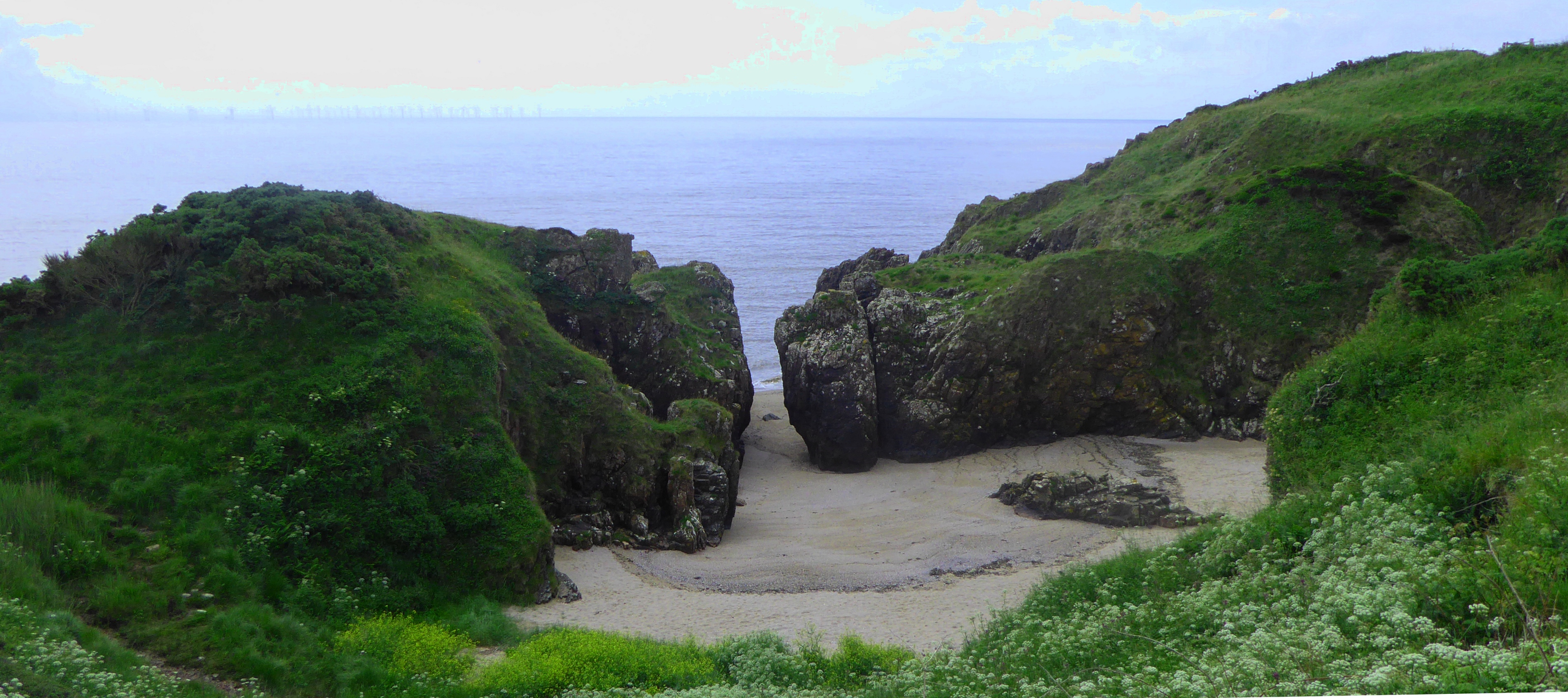
Gutcher’s Isle is interesting, a secret sandy cove accessed from the sea by a very narrow inlet between the rocks.
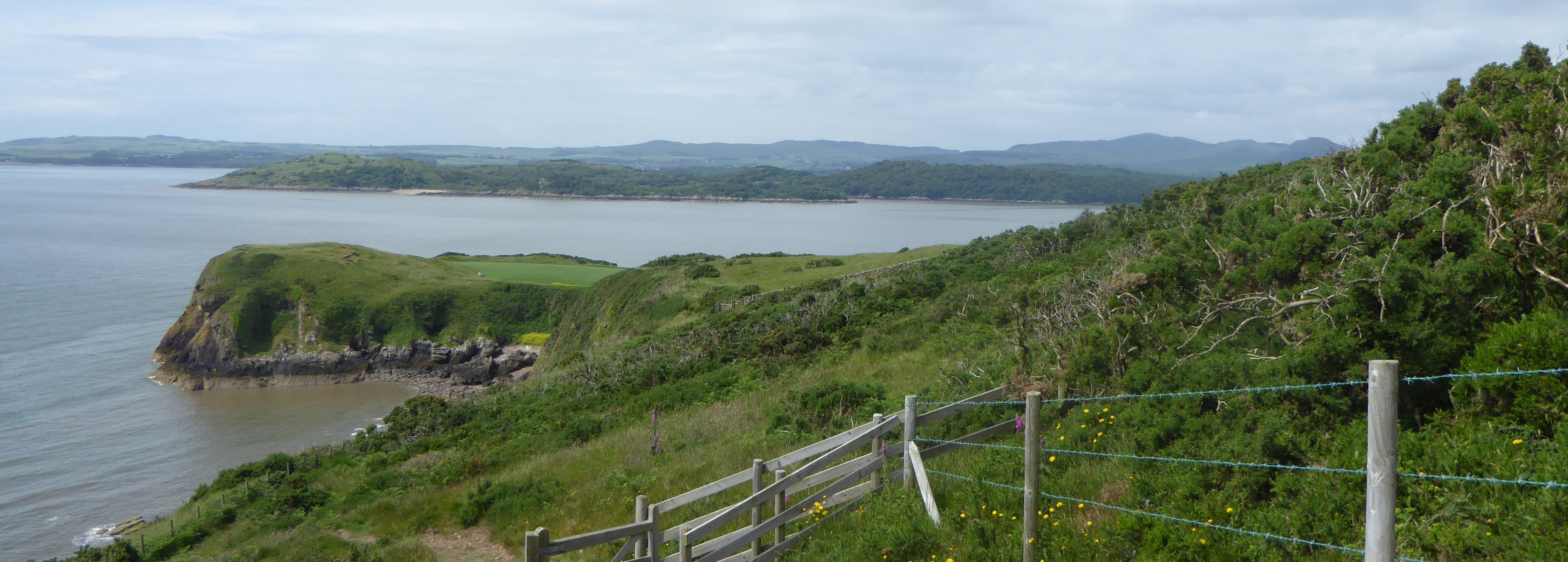
I continue along the coast to Castlehill Point which I can see below me as a grassy peninsular. At the point is a stone pillar with an information plaque showing various landmarks from different compass points around you.
I come to a village of white painted houses and cottages around a sandy bay which is Rockcliffe. As it’s quite a warm day I stop for an ice cream from the van, take a few photos before continuing.
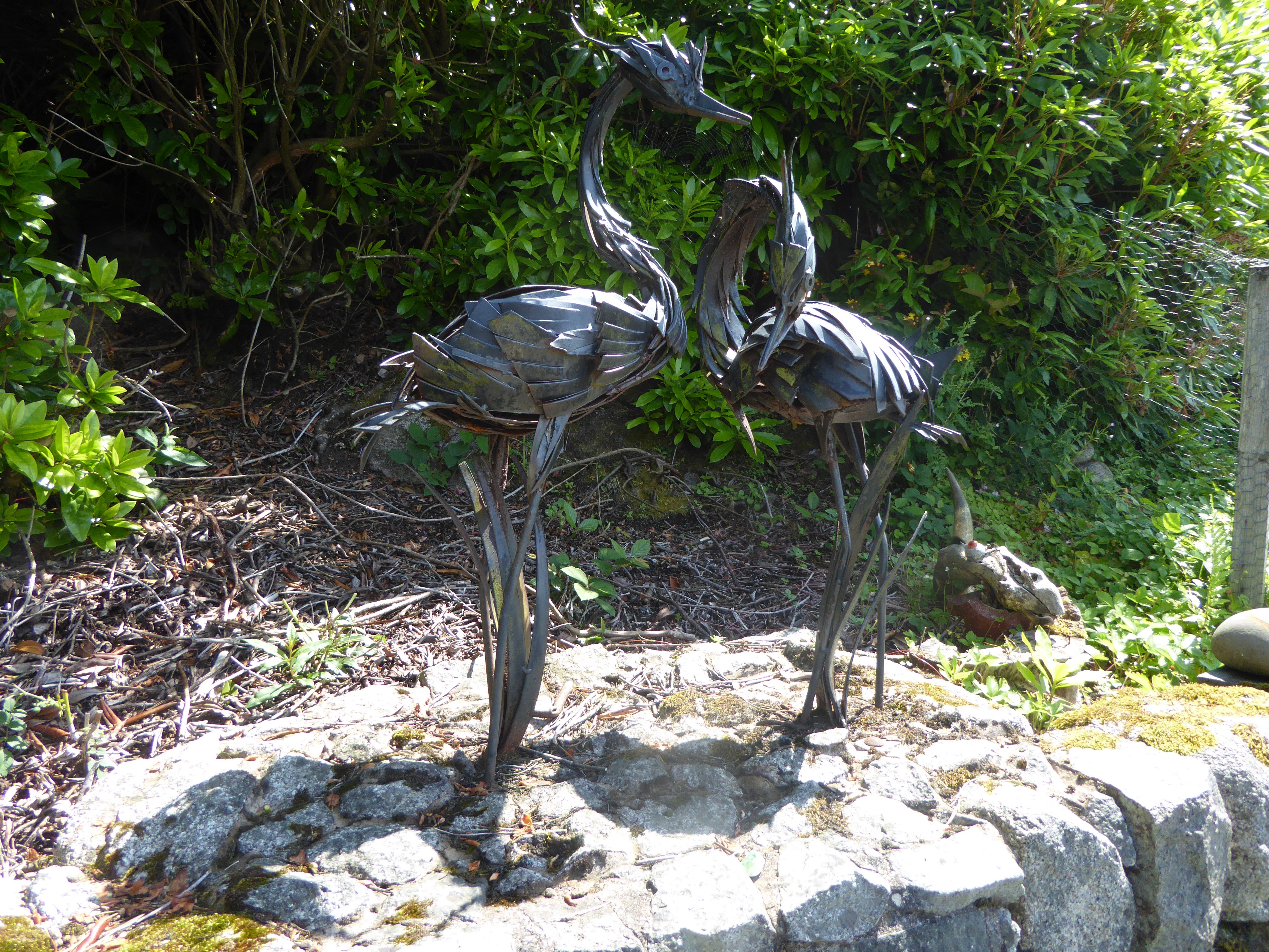
I follow the Muckle Walk and Jubilee Path through the woods passing a collection of sculptures. A lot of this area is owned and managed by the National Trust. There is a tidal causeway to Rough Island which is a Bird Sanctuary.
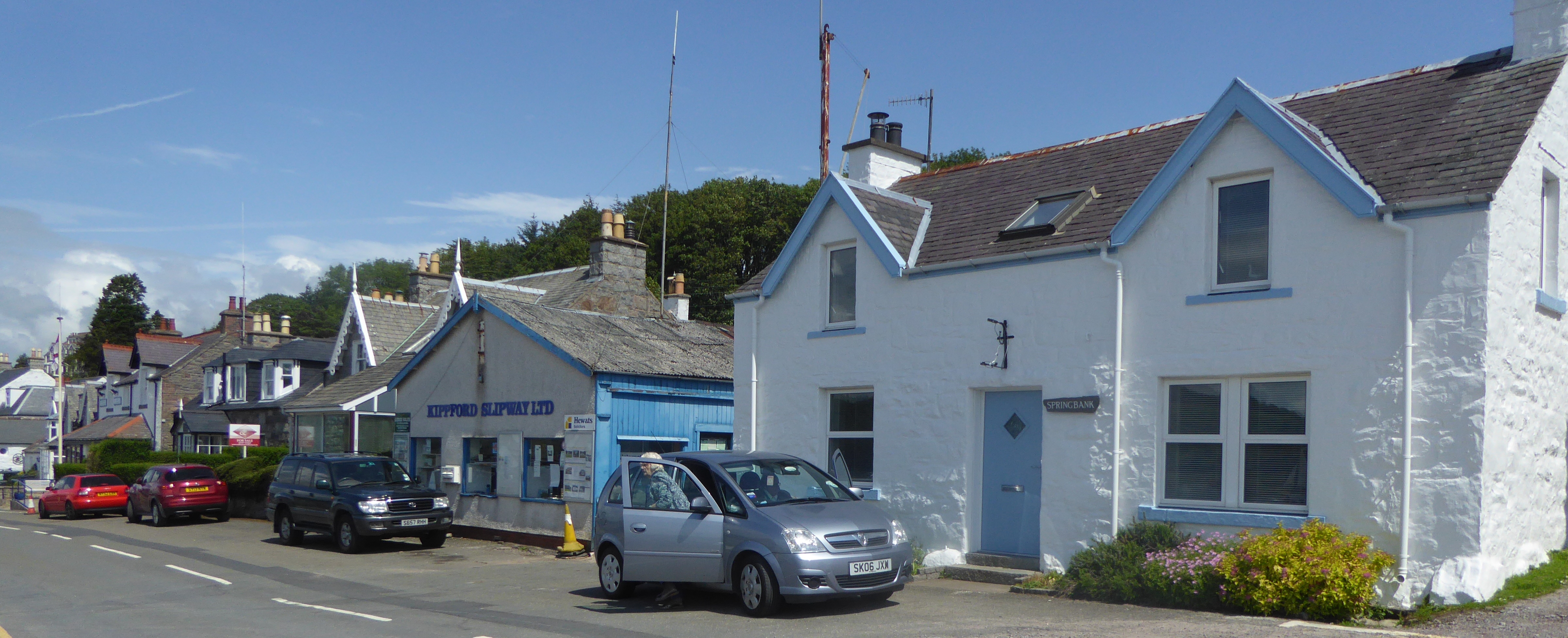
Kippford is another delightful village running along the shore of the Urr Estuary. The village used to be a called Scaur and seems very popular with yachtsmen.
The local golf course has a lovely café called The Tee Room, very appropriate.
Dalbeattie is known as the Granite Town due to the extraction from local quarries. Many of the houses and cottages are built from the granite giving the place a bit of a stark grey look.
Local figure Lt William Murdoch was First Offices on the Titanic which sank on its maiden voyage. There is a memorial plaque for his heroism on the side of the Town Hall.
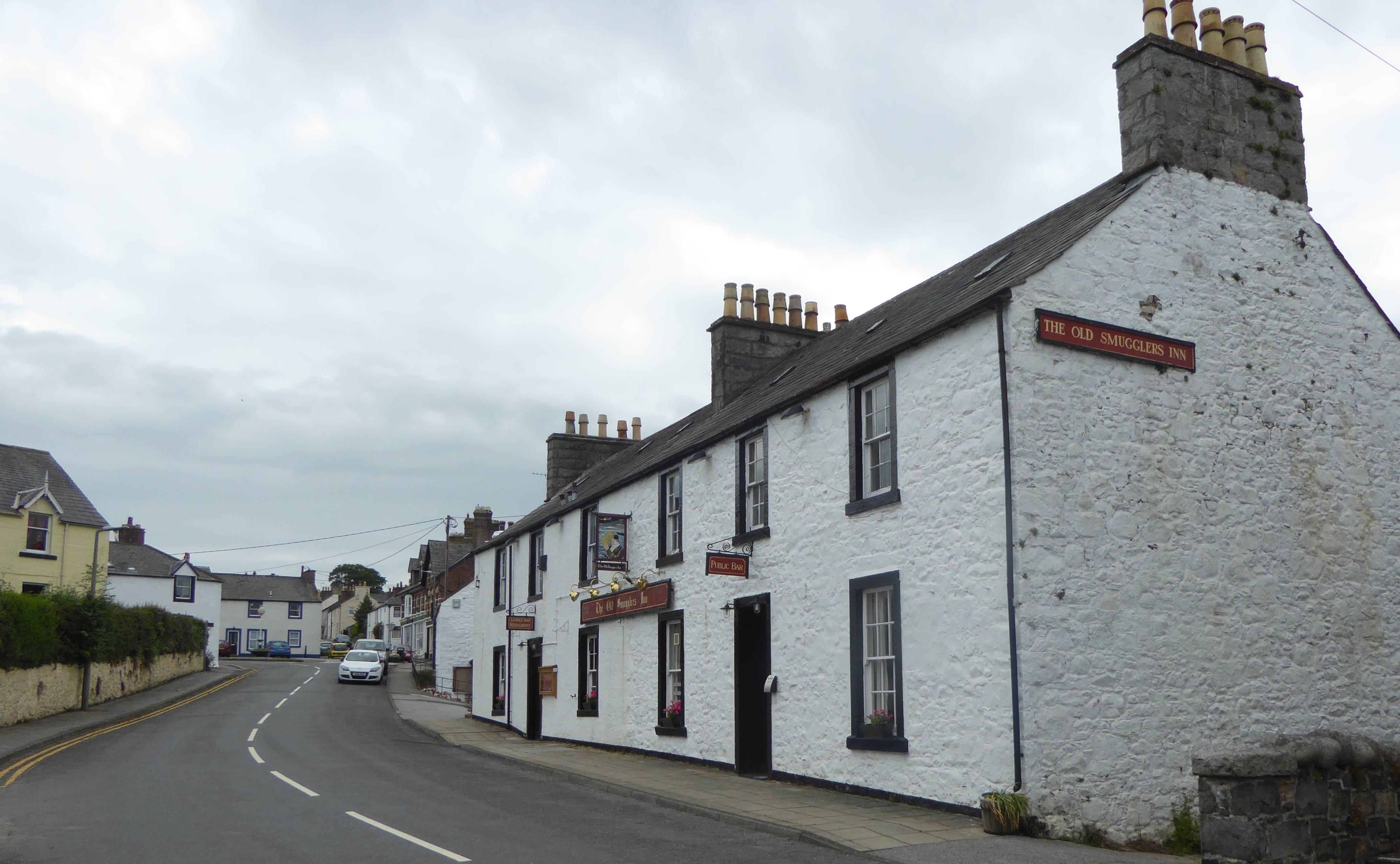
I leave Dalbeattie by crossing the River Urr by the Craignair Bridge, some people know it as the Buittle Bridge. I continue my walk by following the road to Auchencairn which grew up around the Corn Mill.
