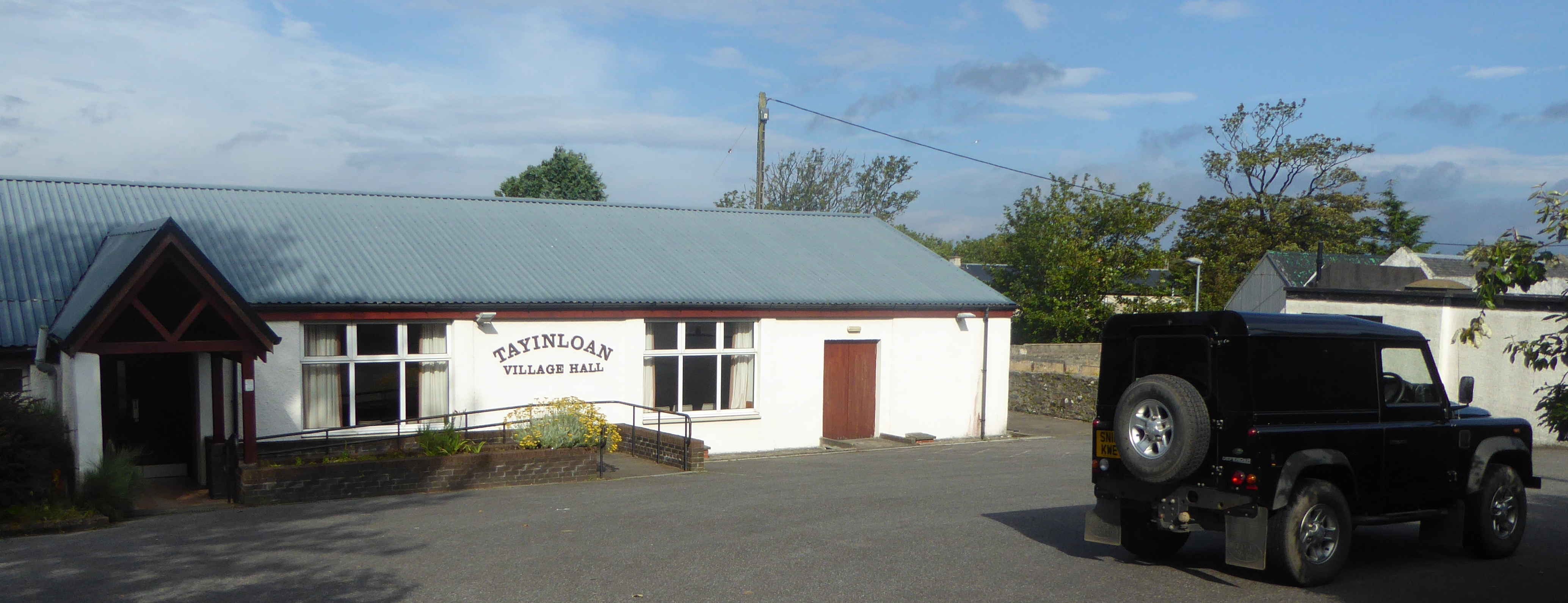
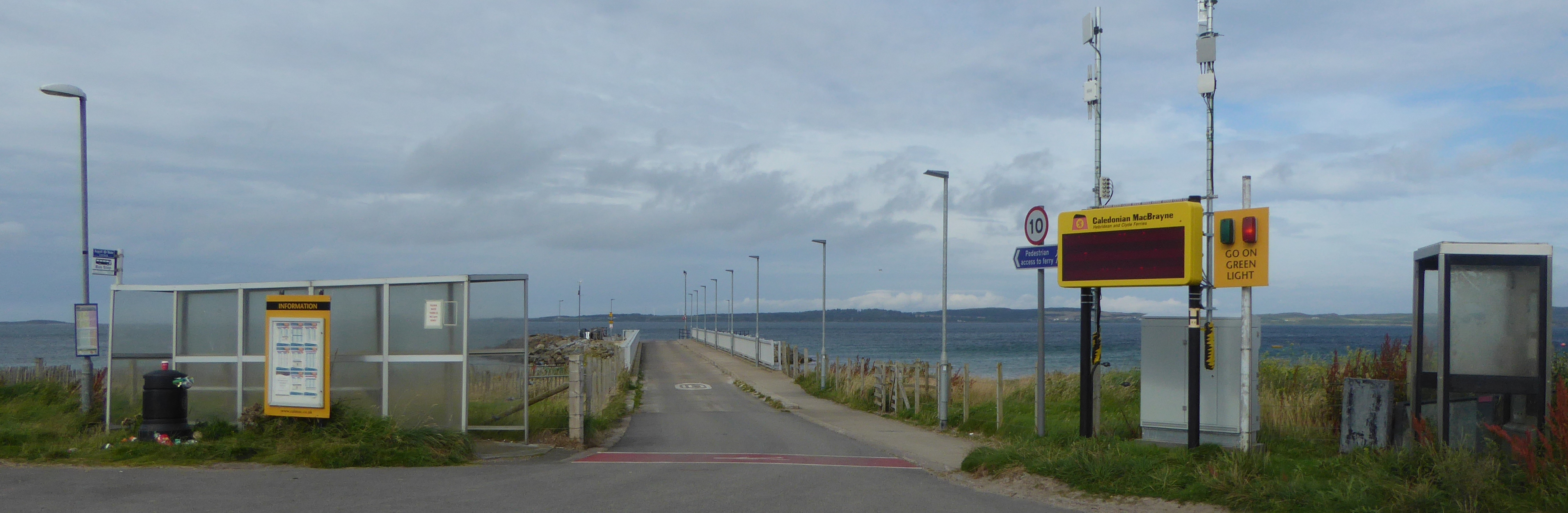
I am now on the west coast of Kintyre at Tayinloan. I start at the village hall and walk down to the jetty where the ferry goes to the Isle of Gigha. The Isle is only seven miles long and a mile and a half wide. It was bought and is run very successfully by the community.
The path onto the beach is not obvious, you have to go a few yards down the jetty and through a gate onto the sand dunes.
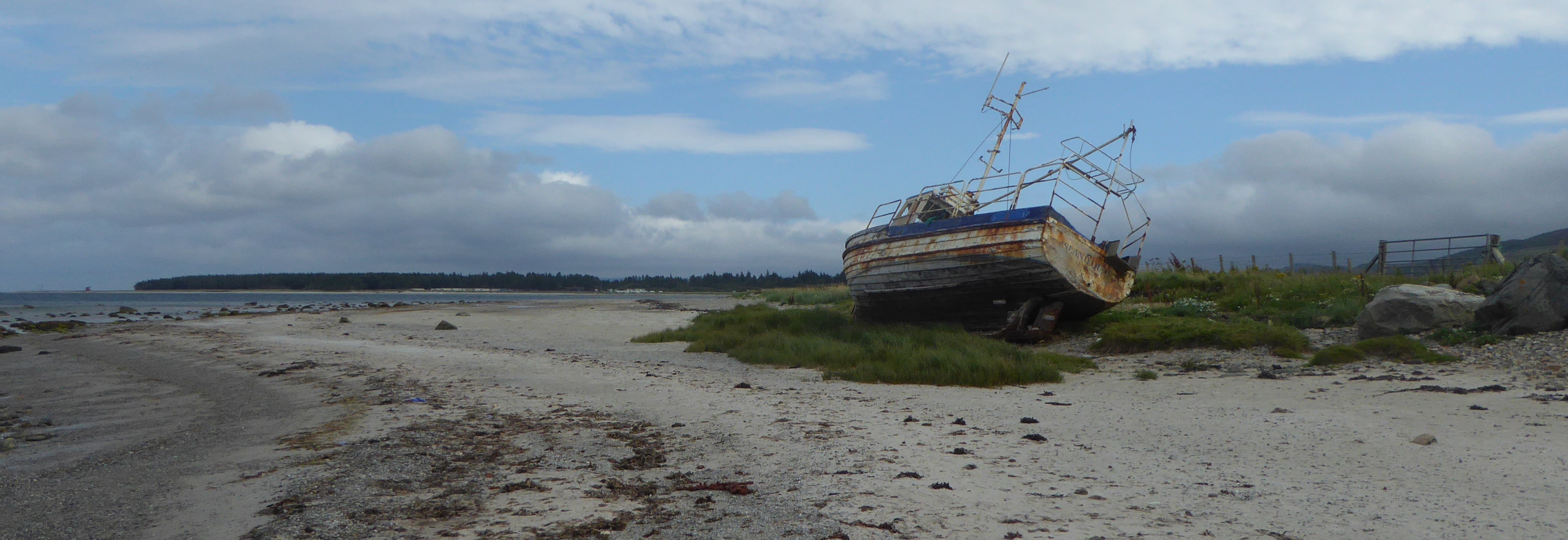
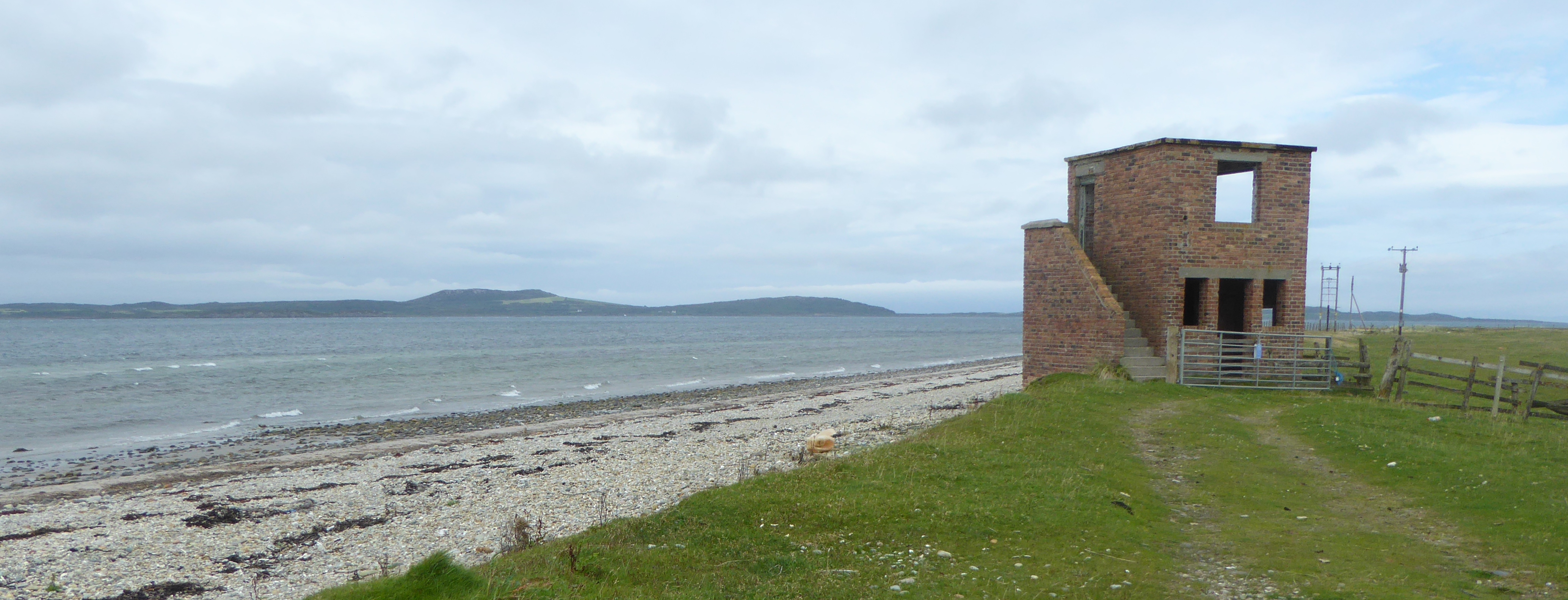
The next three miles is a lovely beach walk to Rhunahaorine Point. I pass a Caravan site on the way. At the point is a quadrant tower, part of the Balure range, a live Word War II bombing and firing range.
Continuing on around the point the beach is shingly and very hard going so I try and make progress along a grass bank above the shingle. I eventually meet up with the road again.
Most of the route ahead is along the road with occasional excursions to the beach. I pass through the grounds of Ronachan House and back on the road to Clachan.
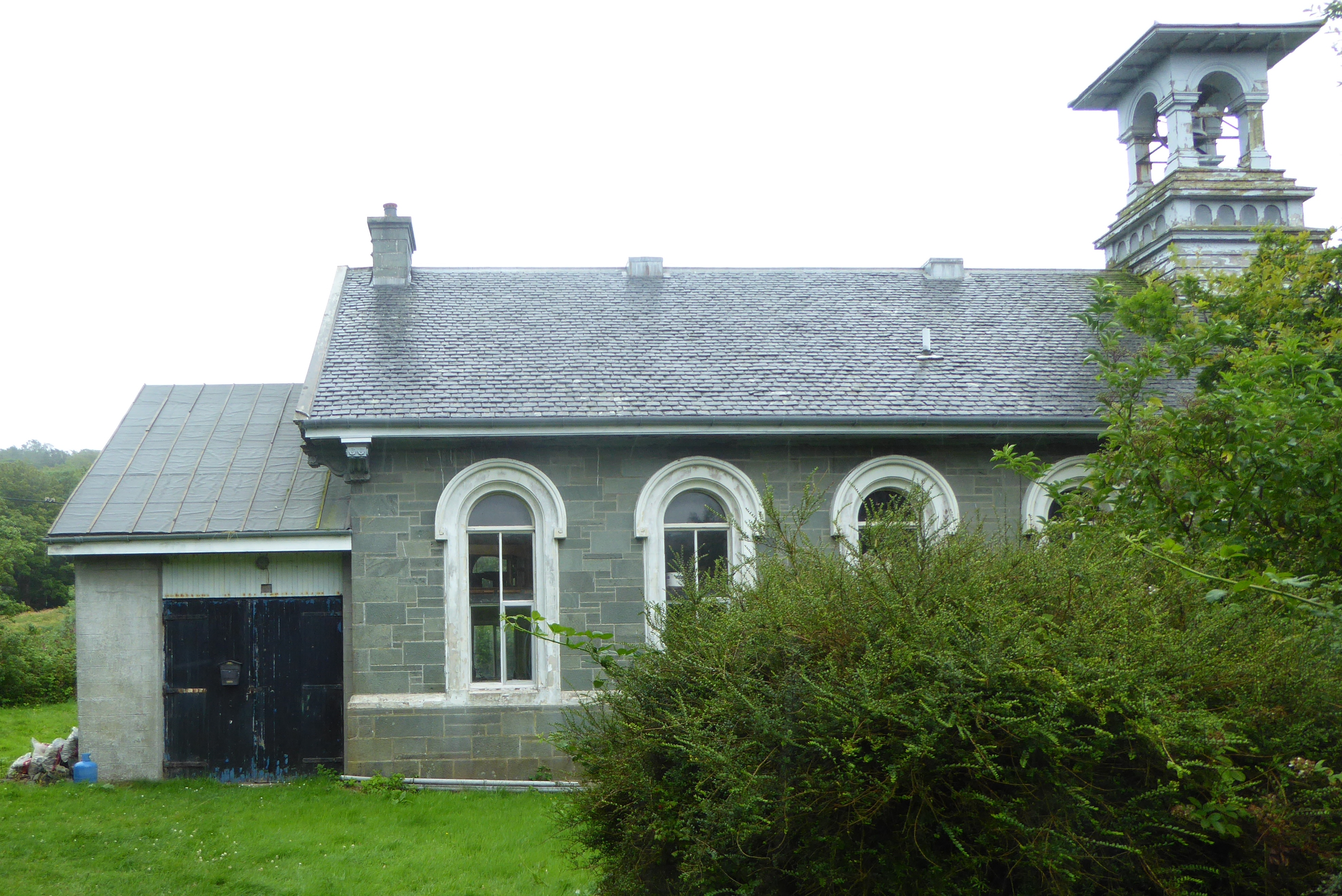
The busy A83 road bypasses the village of Clachan with its church which replaced an earlier church. There are several very early medieval grave stone slabs in the graveyard.
I continue on to Kennacraig where I finish today’s walk.
