Day 142 : Achnaha – Ockle

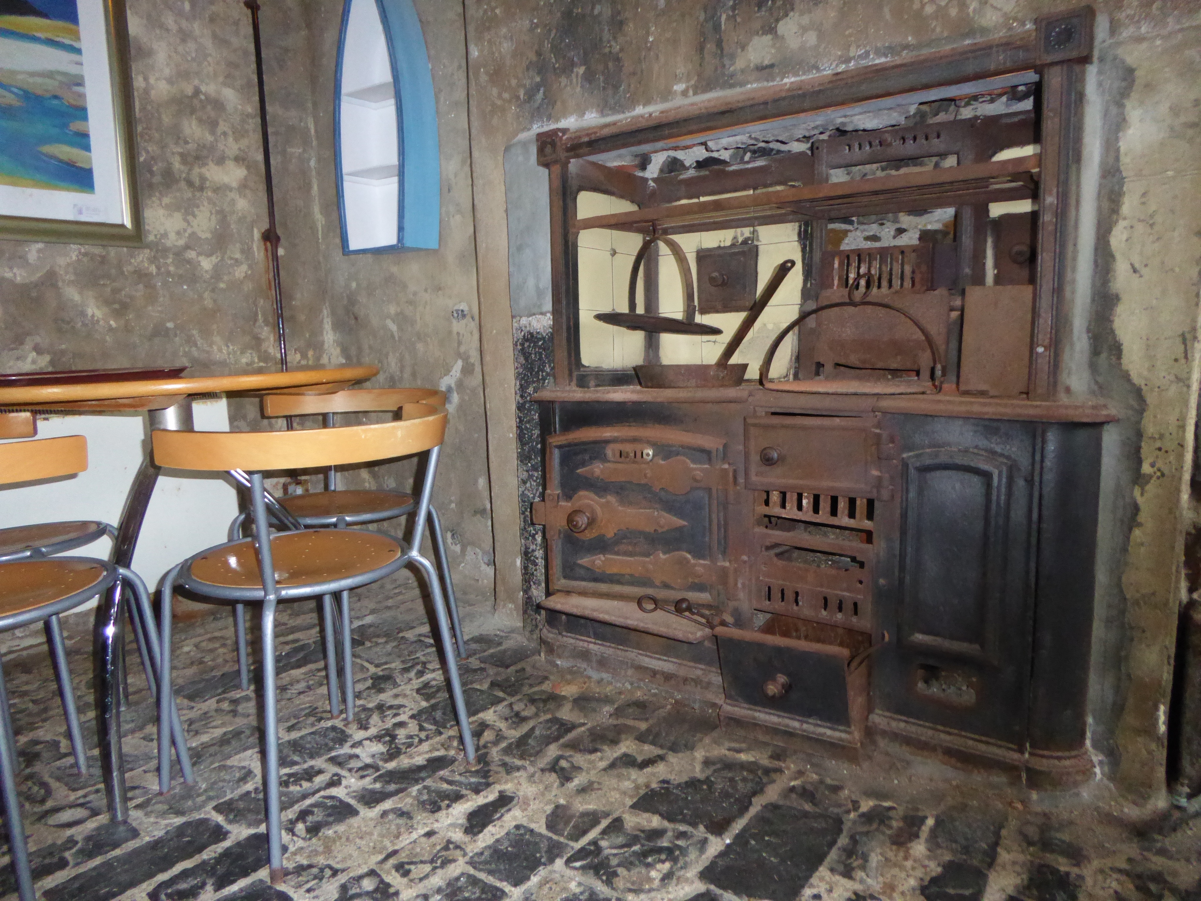
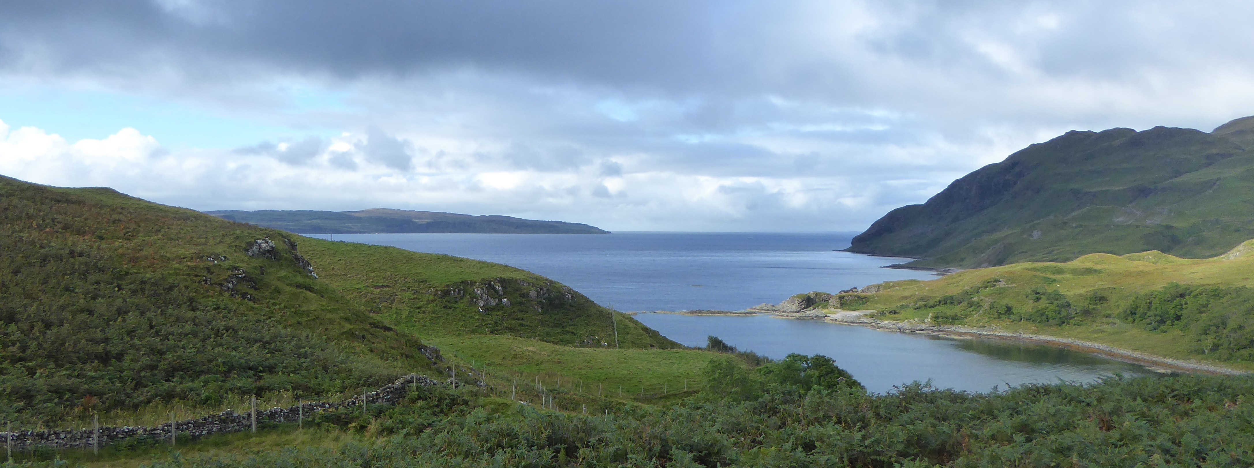
I start from Achnaha today which is on the road back to Kilchoan from Sanna Bay. Just below Achnaha is a track that takes me towards the northern coast of the Ardnamuchan peninsular. Apparently the village is the centre of an extinct volcanic crater. I did think that the rocky landscape had a lunar quality about it.

b_142_049_Fascadale_Coast

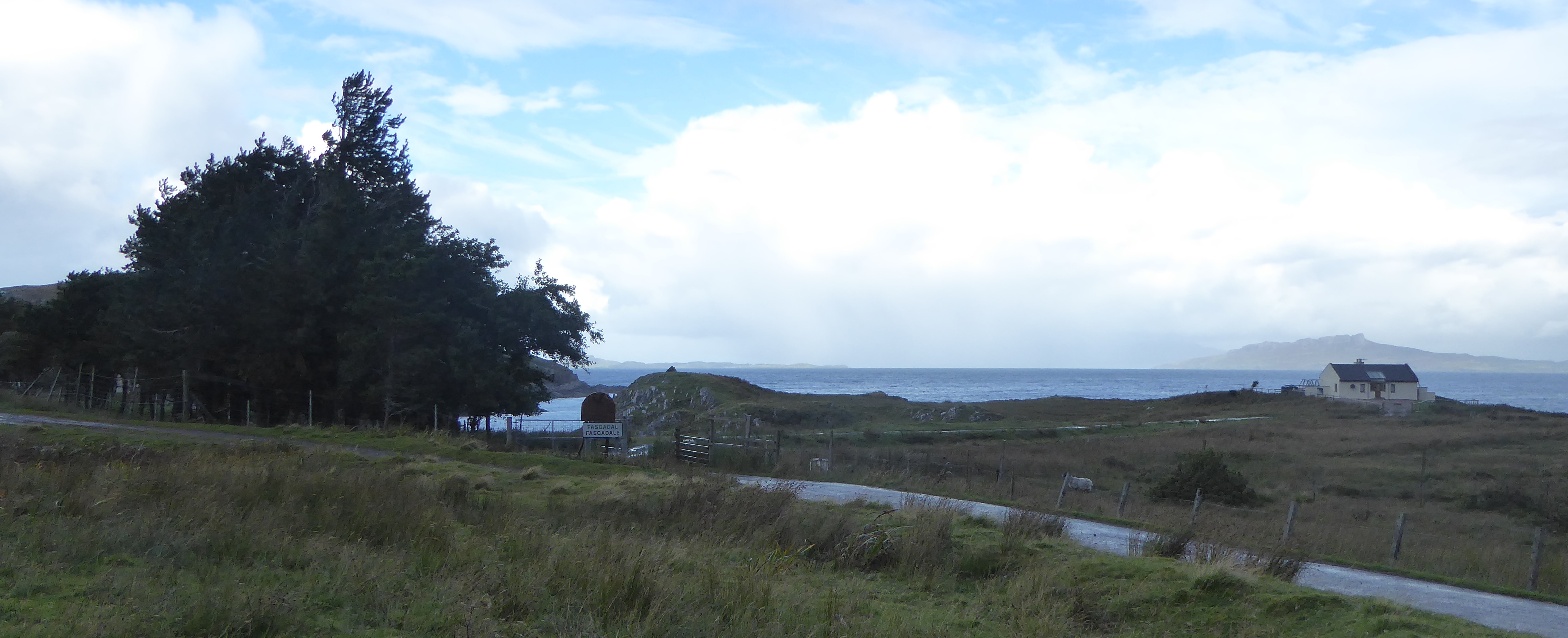
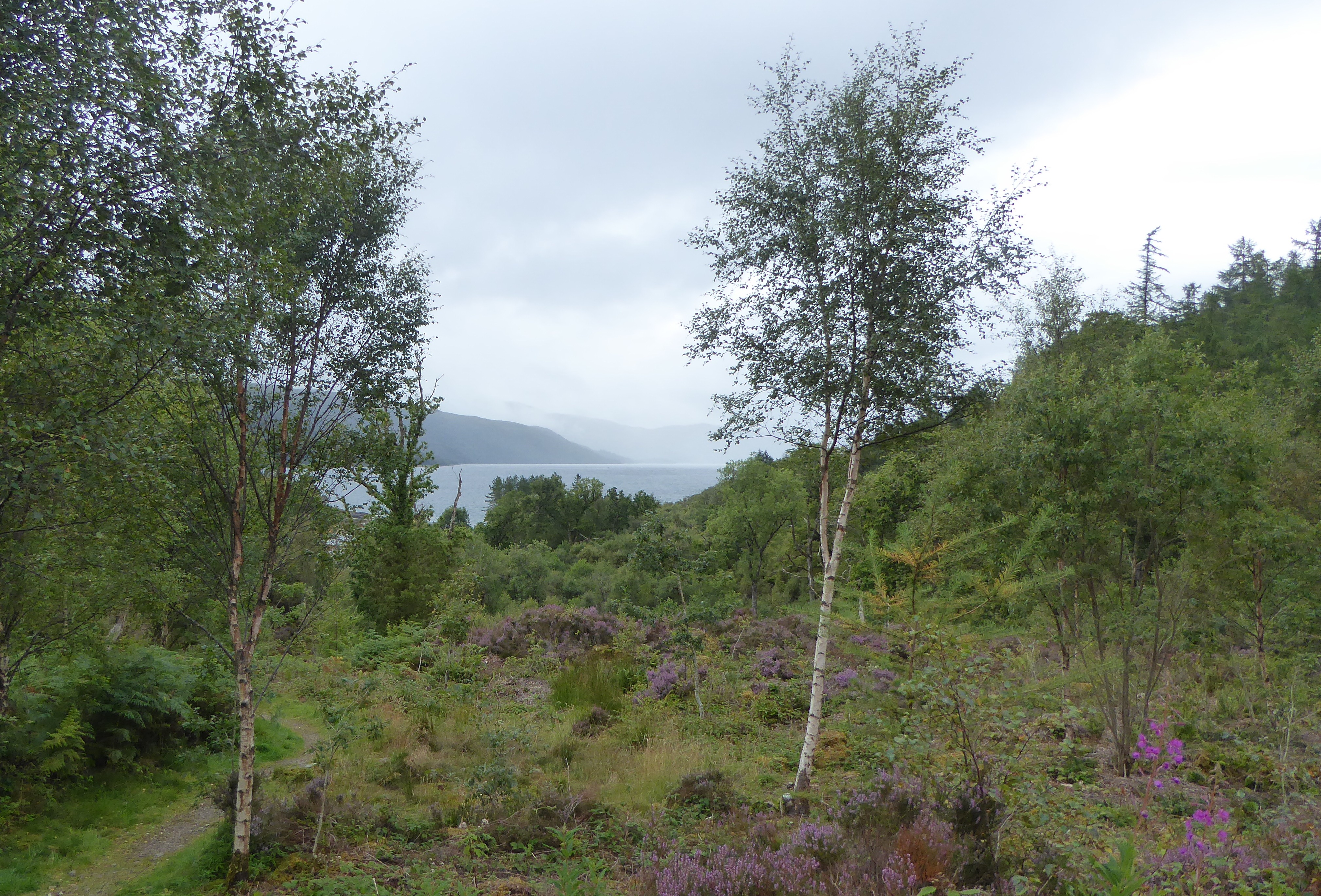
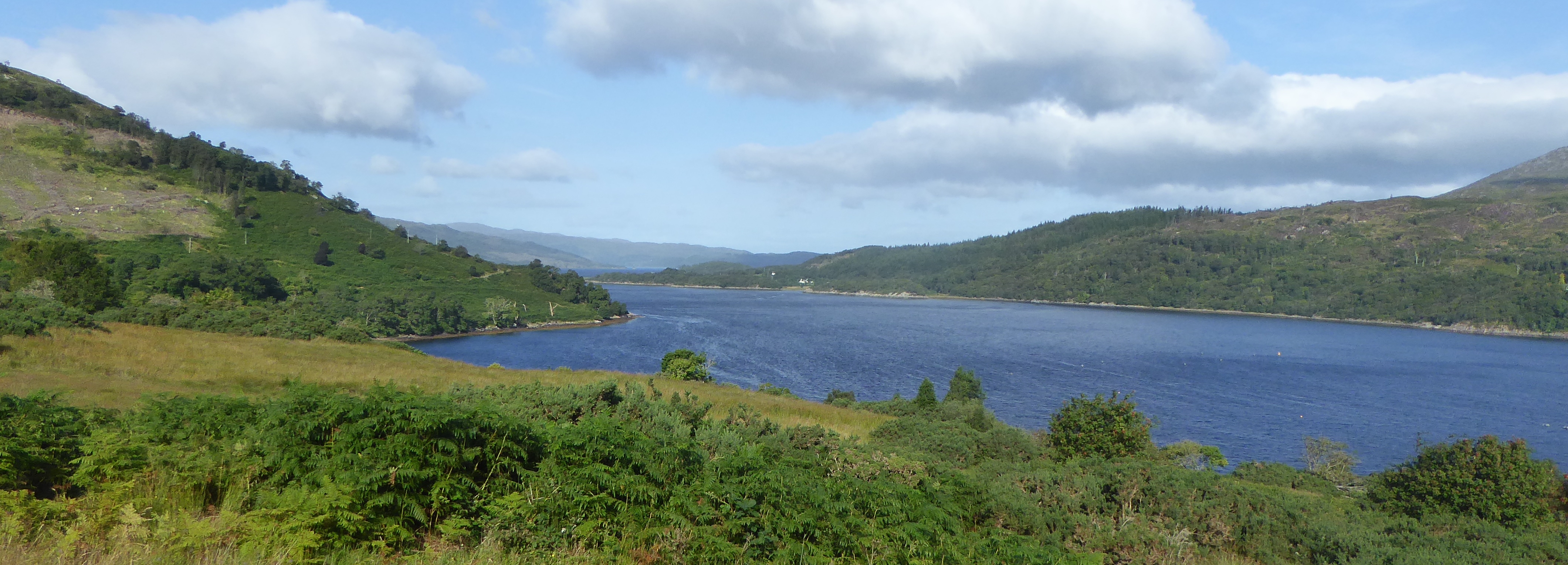
I drop down to Fascadale with its sheltered bay and about three scattered houses. I continue along the road to Achateny and Branault, most of the area is part of the Ardnamurchan Estate.

Continue reading

Day 141 : Kilchoan – Achnaha

It seems to have taken me ages to get here but today I reach the most westerly point on mainland Britain. Its time to leave Kilchoan and make my way to Arrdnamurchan Point and the Lighthouse which is about six miles away.

b_141_034_Ardnamurchan_Cafe

For the last few hundred yards the single track road is traffic controlled as the road curls round and clings to rocks before emerging at the lighthouse. The lighthouse is actually built from pinkish granite which came from the Isle of Erraid off of the Isle of Mull. They say that the lighthouse is built to an Egyptian style.

Continue reading

Day 140 : Glenborrodale – Kilchoan

I am totally enchanted by the Ardnamurchan peninsular just like I was 40 years ago when I came for the first time. The roads look better than they did back then. Good tarmac surface with plenty of passing places instead of pot holes and grass growing down the middle of the road. Perhaps they have had European grants to improve the roads.

b_140_017_CamusBan_LochSunart

I set off walking along the road from a car park about a mile west of the Glenborrodale where there was a path that went above me into the Nature Reserve. I pass another small picturesque place called Glenmore Bay with some holiday cottages to let. One place I did notice was the Nadurra Centre which houses an exhibition in what they call a “living building” about the flora and wildlife in the area.

Continue reading

Day 139 : Ardery – Glenborrodale

I return from a visit home to resume my walk at Ard Airigh or Ardery where there is a little island off the shoreline, Garbh Eilean. I walk down to the hive where there are binoculars to view the island. If you are lucky you may see seals basking on the shores of the island.

b_139_003_SaileanNanCuileag_Forest

I pass through the woodland at Bunalteachan on my way to Resipole. There is a Camping Site that faces right down the loch with only the road between the site and the shore. The site looks flat and well laid out but you might feel the wind coming up the lock. Next door there is a gallery that runs art courses and you can take canoes out on the loch.

Continue reading

Day 138 : Claggan – Ardery

As I look down on Loch Sunart I turn towards Liddesdale which at one time boasted of a lead mine. I follow the shoreline passing a few houses, boats and slipways around the head of Loch Sunart.

b_138_188_Morven_LochSunart

Strontian grew as a village to provide accommodation for lead miners. The village got its name from when some French prisoners of war working in the mines discovered a completely new mineral and they called it Strontian. It was used in producing sugar from sugar beet.

Continue reading

Day 137 : Fiunary – Claggan

I start today at Fiunary where there is a Camping & Caravanning Club certified site. It is a small privately owned site with great views of the Isle of Mull. There is also a former manse where a Victorian book about a Highland Parish was written. There is even a song been written called “Farewell to Fiunary” sang by the McCalmans.

b_137_168_Fiunary_SoundOfMull

Along the road I pass the little hill fort of Dun Fhionnairidh on my way to Clach na Criche or the Wishing Well. It’s a rock wall with a hole through it where legend has it that if you could pass through the rock without touching the sides your wishes were granted.

Continue reading

Day 135 : Corran Ferry – Kingairloch

The Corran ferry saves a significant amount of time and mileage from travelling around the Loch through Fort William. The ferry gives direct access to the areas of Morven, Moidart and Ardnamurchan.

b_135_143_Camusnagaul_LochLinnhe

The eastern side of the loch where the ferry goes from is Nether Lochaber and the western side is Ardour.  The crossing is at the narrowest part of Loch Linnhe with the Corran Lighthouse guarding the opening.

Continue reading

Day 134 : Portnacroish – Corran Ferry

I started today’s walk from the Castle Stalker View café and gift shop off the main A828 road at Portnacrish and follow the shores of Loch Linnhe towards Ballachulish. There are great views and the food looked delicious but I decided it was too early for me to start eating.

b_134_121_Portnacroish_CastleStalker

The route is a combination of cycleway and road with good views across the loch.

Continue reading

Day 133 : Barcaldine Castle – Portnacroish

Whilst at Oban I noticed boat trips going out to the Corryvrechan and also the Wetherspoon pub at Oban was called the Corryvrechan. I was curious about this and decided I would find out. It’s a narrow strait between the Isles of Jura and Scarba where the strong tides create a whirlpool. It is the third largest in the world and can create a violet cauldron of waves.

b_133_097_Barcaldine_Village

Today is another walk from castle to castle, starting at Barcaldine and finishing at Castle Stalker on the islet on Loch Laich, an inlet off Loch Linnhie.

Continue reading